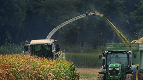
As agricultural research becomes increasingly intertwined with advanced computing, the term smart farming is now commonplace in ag labs across the country.
At the University of Illinois Urbana-Champaign (U. of I.), access to high-powered resources like the National Center for Supercomputing Applications’ Delta system is helping researchers drive innovation in everything from drought resilience to disease monitoring.
As detailed in a recent news release, Yi-Chia Chang, a U. of I. doctoral student is one of those researchers. His work sits at the intersection of machine learning and remote sensing—two powerful tools that are shaping how we understand and manage crops. His latest project, recently accepted for presentation at IEEE IGARSS 2025 and published on arXiv, zeroes in on crop mapping.
“Imagine you’re a farmer deciding what to plant — or a policymaker weighing food security strategies,” Chang said in the release. “You need to know what’s already growing before you can make good decisions. That’s where crop mapping comes in.”
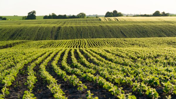
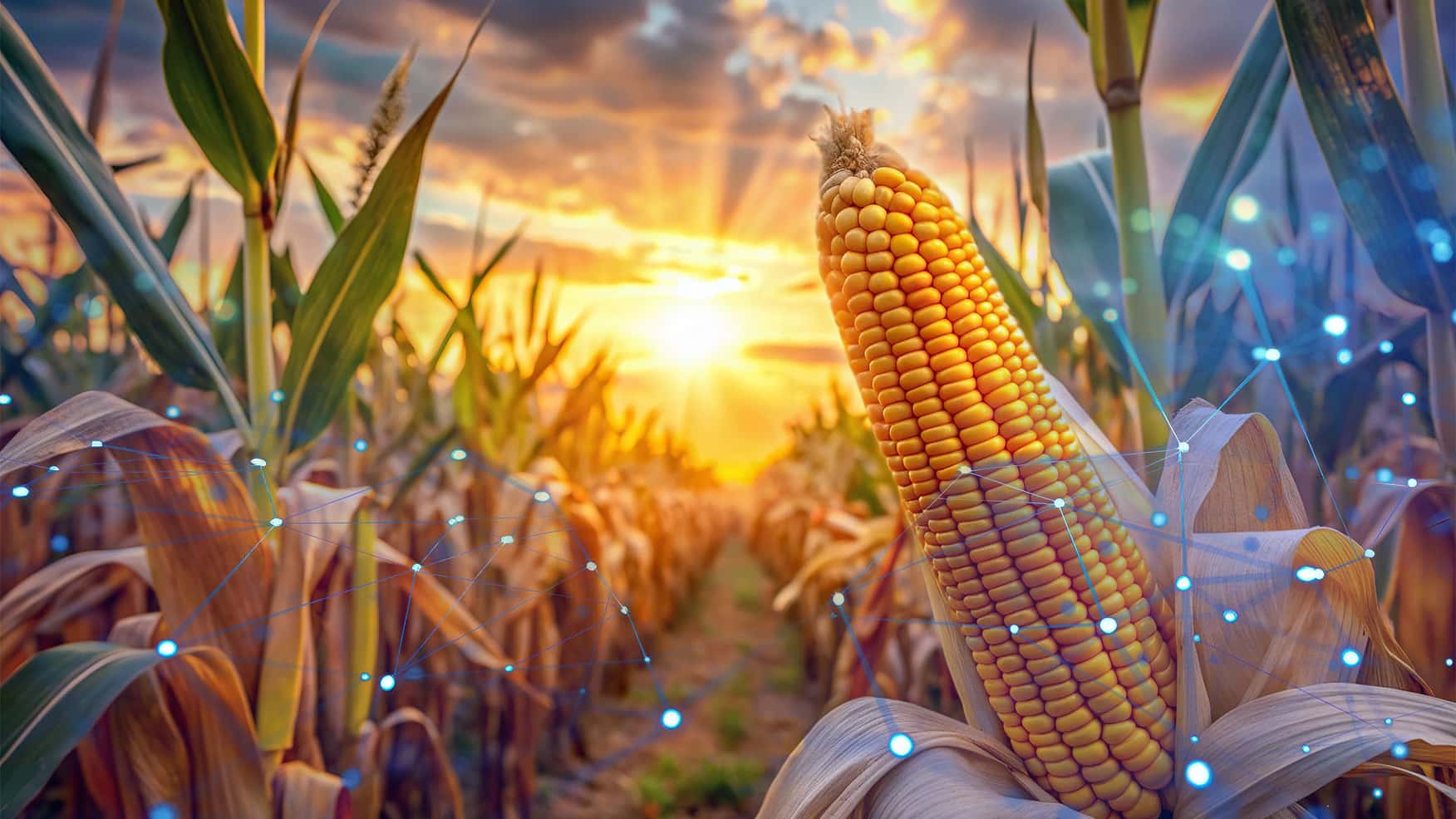
Crop mapping uses satellite imagery to identify and classify crop types across a region. These maps help farmers plan for upcoming seasons, monitor plant health, track precipitation and even predict yield. But the impact reaches beyond the field.
“Crop maps are essential at a larger scale,” Chang said. “They help policymakers and global organizations understand how much food is being produced and what kind.”
In a country like the U.S., where there are millions of acres to monitor, keeping maps up-to-date requires automation. That’s where machine learning comes in. By training models to recognize different crops from satellite images, researchers can speed up the mapping process and improve accuracy.
So far, crop-mapping models have performed well in data-rich regions like North America. But Chang and his collaborators saw a challenge: What happens when these models are used in regions where labeled data is limited?
“There’s a risk of geospatial bias,” he explained. “A model trained on U.S. farms might not work as well in other parts of the world where farming practices and crops are different.”
To explore this, Chang’s team evaluated how well several popular Earth observation models transfer knowledge across geographic boundaries. Focusing on four key cereal crops—maize, soybean, rice and wheat—they tested three widely used pre-trained models and compared their accuracy on familiar versus unfamiliar datasets.
The results were clear. Models pre-trained on satellite-specific data, like Sentinel-2 (SSL4EO-S12), outperformed those trained on general image sets like ImageNet.
“By harmonizing datasets across five continents, we showed that foundation models trained on full spectral bands of Sentinel-2 deliver better results for crop-type mapping,” said Chang. “Training with data from outside the target region can even improve accuracy when local data is limited. Long term, we still need more balanced, labeled datasets—but the potential for foundation models and transfer learning in agriculture is really exciting.”
His research has already been integrated into TorchGeo, an open-source library for geospatial machine learning. This means others in the field can easily build on his work.
“Our next steps include expanding crop-type datasets and developing agriculture-specific foundation models,” said Chang. “We also plan to create benchmarks for applications like crop-yield prediction to help bridge the gap between GeoAI and food security.”
Projects like this demand immense computing power. Chang relied heavily on GPUs to handle the machine learning side of the work and needed large-scale storage to manage the vast amounts of satellite imagery.
“HPC resources drastically cut training time—from hours to minutes,” he said. “And the large storage allocation allowed us to efficiently manage everything from pre-trained weights to model outputs.”
Though he had used high-performance computing before through his advisor Arindam Banerjee’s lab, Chang said his transition to Delta was smooth.
“My experience using Delta has been user-friendly and efficient,” he said. “The support team was responsive, and I’d especially like to thank Brett Bode for helping us secure over 50 TB of storage.”
For researchers at U. of I. interested in accessing Delta, requests can be made through Illinois Computes. For larger allocations or for researchers outside U. of I., applications are available through the ACCESS allocations portal.