Just as we increasingly live in a digital world, so too are we more and more living in a world of sensors.
These devices measure sound, radiation, light, heat and more to provide us specific types of data for use in analytical and situational analyses. They are fast becoming an essential link in our food chain.
For instance, lidar-based object detection enables self-driving tractors to prepare land, seed crops, apply nutrients and harvest crops with unprecedented precision. Dairies use sensors to monitor animal health, using heat detection to determine pregnancy, disease and lactation status. They are used to calculate the sugar levels of fruit on a tree to determine the best
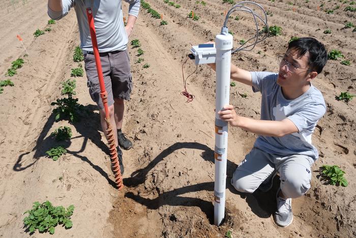
time for picking. They are used in automated and semi- automated sorting and packing lines of high value fruit and vegetables. For years, sensors have been used to measure soil moisture.
But for agriculture, the real value of remote sensing has only emerged in the past few years. The earliest systems for collecting farm data were plagued with reliability problems. Compiling massive volumes of high-resolution data over a broad geographic area was a management nightmare. Now we are moving in the right direction.
The rise in the availability and ease-of-use of drones makes routine data collection from the skies common- place. The recent online publication of satellite data opens up space-based monitoring possibilities that were not attainable for ordinary farmers a decade ago.
It will take time for all of these sensor systems and products to reach full maturity, as the market is still validating them. Everything in agriculture is cyclical, which means the products need to be tested over a number of seasons before their value can be confirmed, and then, of course, they will evolve with improvements.
The Data Story
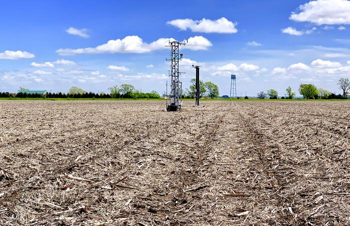
Remote sensors open a world of information to help farmers better understand their fields in the form of soil profiles, chemical grids, harvest monitor reports and satellite and other aerial imagery. What all remote
sensors have in common is that they measure variability over time for a specific geographic area.
Agricultural data collection is useful for under- standing trends through some key questions. How do atmospheric conditions affect crop development? What are the weather patterns? How do inputs affect crop maturity? Because there are many possible trends to examine, all data derived from the same location is useful, as long as the collection is consistent. But data collection is only the first step. Data must also be compiled and analyzed before they can become truly useful.
Several companies have developed farm data management systems that assist farmers by consolidating the statistical and agronomic data from the field in one convenient place, gathered from various types of sensors. This makes it far more convenient to view the information and conduct meaningful analyses. Simple and complex geographic information systems (GIS) add an online arena for farmers to layer their visual data from multiple seasons onto a single platform.
We are still in the early stages of learning how best to collect and analyze multiple sets of remote sensing data over multiple seasons. Currently, to make sense of sensors, farmers must have a good idea of the challenges they face beforehand. This allows them to select a particular sensor to address a very specific need. That will have to do until more advanced systems are in place.
Corporate agriculture has invested billions of dollars into developing the platforms needed to house multiple datasets from their clients over multiple seasons. These data provide critical insight into growing techniques and conditions across geographies, which helps to improve seeds, fertilizer, crop protection products, equipment and many other aspects of farming that ultimately benefit growers.
But collecting and harnessing data has its growing pains. Industry’s biggest challenge is that farmers really have too much choice when it comes to the systems and data they can use. The days when agricultural technology developed slowly, and logically, are long over.
The past five years have seen an explosion in the availability of advanced inputs, mechanization, the Internet of agriculture and data systems. It’s not easy to put all of these parts together to unleash their value.
Because these remote sensing technologies are new, they rarely “talk” to one another. Farmers are understandably frustrated, feeling that these new tools only half work. The suppliers of these remote sensing tools must develop and promote data integration capability. Widespread adoption of advanced remote sensors is not going to happen unless such systems cooperate with one another to provide useful analyses to farmers. Only then will they be able to make better decisions for better results in the field.


