Veris Technologies and The Climate Corporation, a subsidiary of Monsanto, will partner to make high resolution soil maps from Veris on-the-go soil sensors available as a key data layer for the agronomic models in The Climate Corporation’s Climate FieldView platform.
This partnership will greatly enhance farmer access to the company’s precise soil mapping technology to more accurately map soil variability across their fields. Additionally, it will enable more farmers to experience the value of Climate’s customized data science insights on every portion of every acre.
“This is not just about data connectivity, it’s about the combination of soil, weather and scientific insights to better predict nitrogen needs,” says Eric Lund, president of Veris Technologies. “Not only will this collaboration allow farmers to efficiently view Veris maps in the Climate FieldView platform, but most importantly, the high resolution soil maps generated by Veris soil sensors will be used to help manage one of farmers most expensive and sensitive inputs.”
Veris on-the-go soil sensors produce precise maps of soil texture, organic matter and pH. These properties have a significant impact on productive potential and are closely tied to nitrogen use, loss and mineralization. A proper prediction of a crop’s nitrogen needs requires an accurate understanding of the soil and how it varies within individual farm fields.
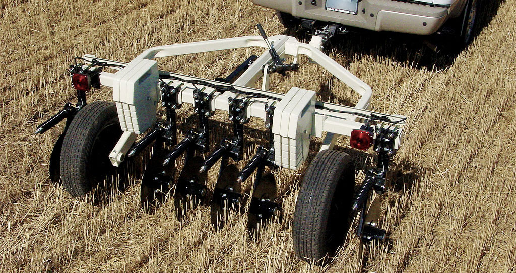
Veris sensor platforms use patented and proven electrical, infrared and electro-chemical sensors to collect data on three key soil characteristics.
An electrical conductivity (EC) disc array investigates deep into the rooting zone to determine important components of productivity like soil texture, water-holding capacity and rooting depth. These features have significant impact on yield and therefore management decisions.
An optical sensor measures subsurface soil color to understand how organic matter (OM) levels vary within a field. Soil OM is a significant indicator of past productivity and a driver of future high yields. Incorporating this layer into nitrogen, irrigation and seeding prescriptions is crucial to accurately managing these inputs.
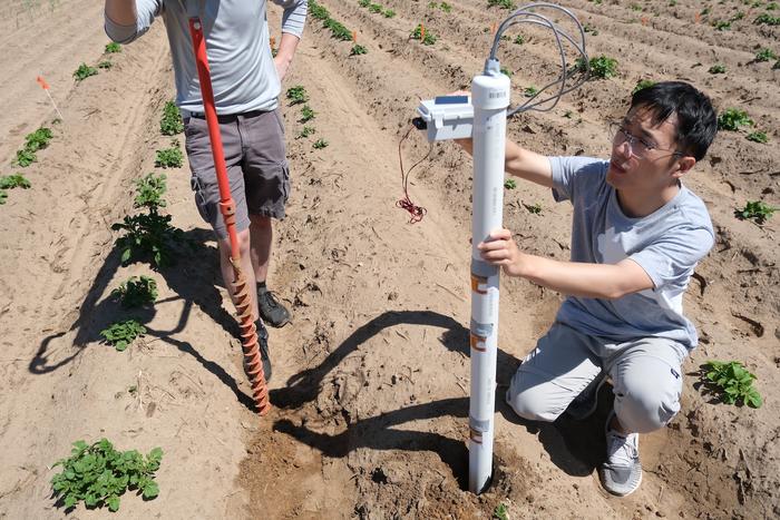
To measure pH, proprietary ion-selective electrodes ruggedized for in-field sensing take a reading of the soil pH in 8-10 seconds. This speed allows mappers to create pH maps and lime prescriptions with up to 10 times the resolution of a 2.5-acre grid and at a fraction of the cost.
With these sensors, Veris users deliver growers a lasting characterization of their field’s major physical, biological and chemical properties, as well as key topographic features of slope and curvature. Growers and their advisors can then confidently make site-specific management decisions about seed, fertilizer, soil amendments, herbicides, irrigation, drainage and much more.


