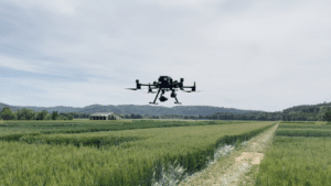
Today, leading enterprise drone data platform DroneDeploy announces a collaboration with one of the world’s largest pure-play agricultural organization, Corteva Agriscience to bring improved management decisions to farmers year-round. Corteva operates one of the largest agricultural drone fleets in the world, helping farmers to plant and harvest efficiently, safely and sustainably. DroneDeploy provides streamlined data capture and analysis capabilities for Corteva’s fleet of more than 600 drones and is now the first third-party company approved to license Corteva’s proprietary Stand Assessment Artificial Intelligence (AI) and machine learning technology.
“We’re excited to work more closely with Corteva Agriscience to bring cutting-edge tools to the hands of farmers globally,” said Mike Winn, co-founder and CEO of DroneDeploy. “The agricultural industry was one of the earliest adopters of drone technology and continues to be one of DroneDeploy’s priority markets. In 2020, DroneDeploy’s agricultural customers reached 55 million total acres mapped, a new milestone for the company.”
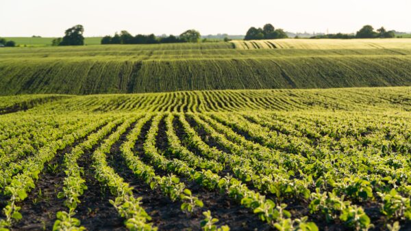
DroneDeploy most recently leveraged Corteva’s proven machine learning algorithms to build its new Stand Assessment solution. Stand Assessment is a complete flight, capture, analysis and reporting workflow designed to determine crop emergence for early-stage fields.
Current processes to review early crop growth are manual, time-consuming and often inaccurate. Stand Assessment provides a faster, automated and streamlined workflow that is completed at the field edge to help farmers make decisions about replanting, monitor seed and crop health, and diagnose existing issues in the field before larger issues arise.
Stand Assessment is currently in use across Corteva’s global fleet of more than 600 drones and will soon be offered to all of DroneDeploy’s agriculture customers in the U.S. In addition to its desktop functionality, DroneDeploy’s platform can also be used directly on a phone or tablet, bringing data-driven insights to agricultural professionals right at the field’s edge.
“As farmers are asked to do more, that doesn’t negate the need to closely monitor their crops throughout the growing season,” said Jeremy Groeteke, U.S. Digital Ag Lead at Corteva Agriscience. “By collaborating with DroneDeploy, we can now help farmers efficiently scout their fields, provide data-driven analysis and insights around the products they need to use, consider opportunities to replant, and be more informed about their fields’ performance. These tools arm the farmers’ team, including agronomists, seeds representatives and ag researchers, with the tools they need to help their customers recognize the greatest yield potential they can.”
DroneDeploy also recently introduced an upgraded Live Map experience that allows agricultural customers to better capture real-time insights and turn hundreds of acres into shareable and collaborative maps.


