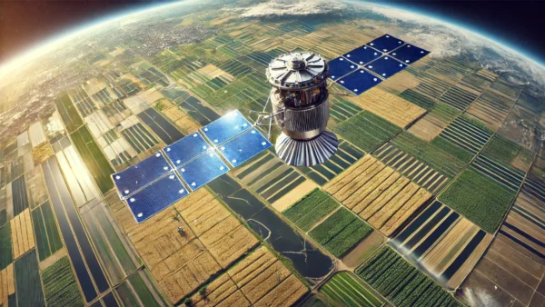
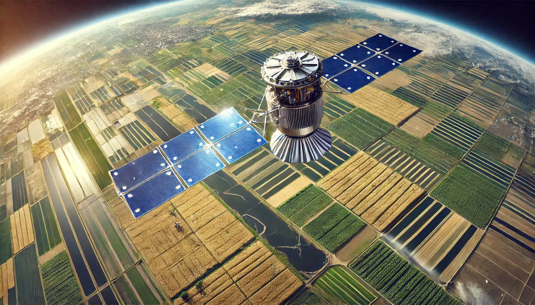
The National Association of State Departments of Agriculture (NASDA) CEO Ted McKinney and NASDA staff recently met with the National Aeronautics and Space Administration (NASA) to explore how satellite technology is improving agricultural data collection and monitoring.
NASA’s Earth-observing satellites including Landsat, MODIS and SMAP provide critical insights throughout the growing season, according to a NASDA news release. Landsat tracks crop conditions and field usage, MODIS delivers daily imagery for yield analysis and SMAP monitors soil moisture levels. By combining satellite observations with field data collected by National Agricultural Statistics Service (NASS) enumerators, the U.S. Department of Agriculture (USDA) is producing more accurate and timely agricultural reports.
The Cropland Data Layer precisely maps where crops are grown, strengthening production estimates. Crop Progress and Condition Reports provide real-time updates on crop health, soil conditions and drought status. These data tools help farmers, researchers and policymakers make informed decisions that impact agricultural productivity and sustainability.
Since 1972, the NASDA-NASS partnership has relied on a nationwide team of enumerators to gather high-quality data, ensuring farmers and ranchers have a voice in shaping agricultural policies. By merging field data with NASA’s satellite technology, NASS has improved its ability to forecast yields and monitor environmental conditions more effectively.
This collaboration reflects the ongoing effort to modernize agricultural data collection. By integrating advanced technology, NASS continues refining its reporting processes, leading to a more efficient and data-driven approach to agricultural decision-making.